Expand/collapse navigation
Intro - Home Page
enCYCLEpedia So Cal Home
enCYCLE BONUS Materials, Updates to Ch 4 (Password)
enCYCLE Updates Ch 5-9 (Password)
enCYCLE Features, BLOG, Contact
Pender Islands Handbook Home
Pender Islands Updates, Reviews
Pender Islands Links, Info
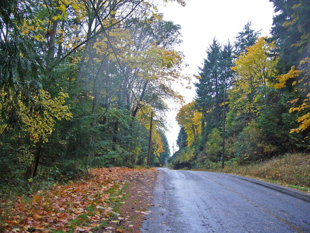
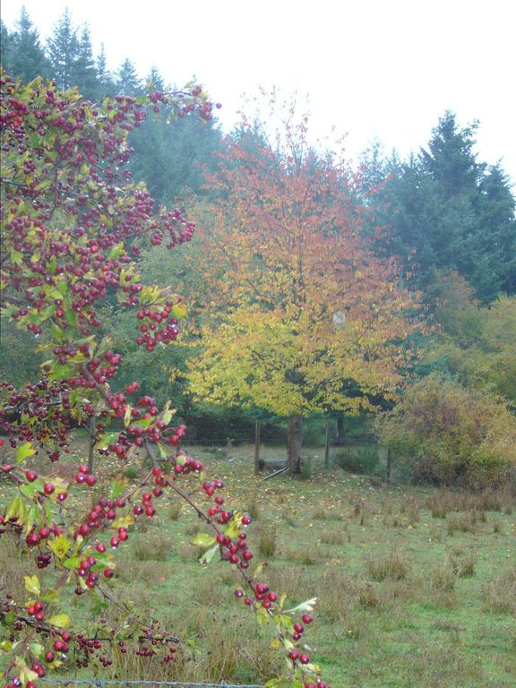
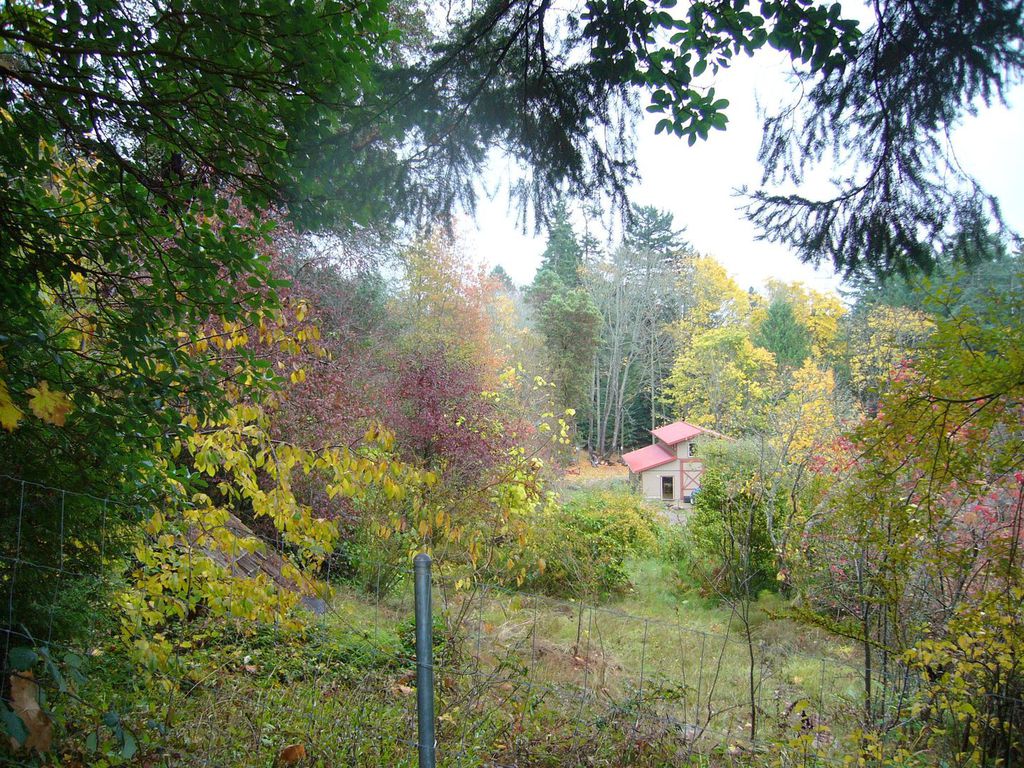
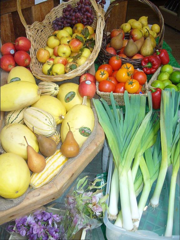
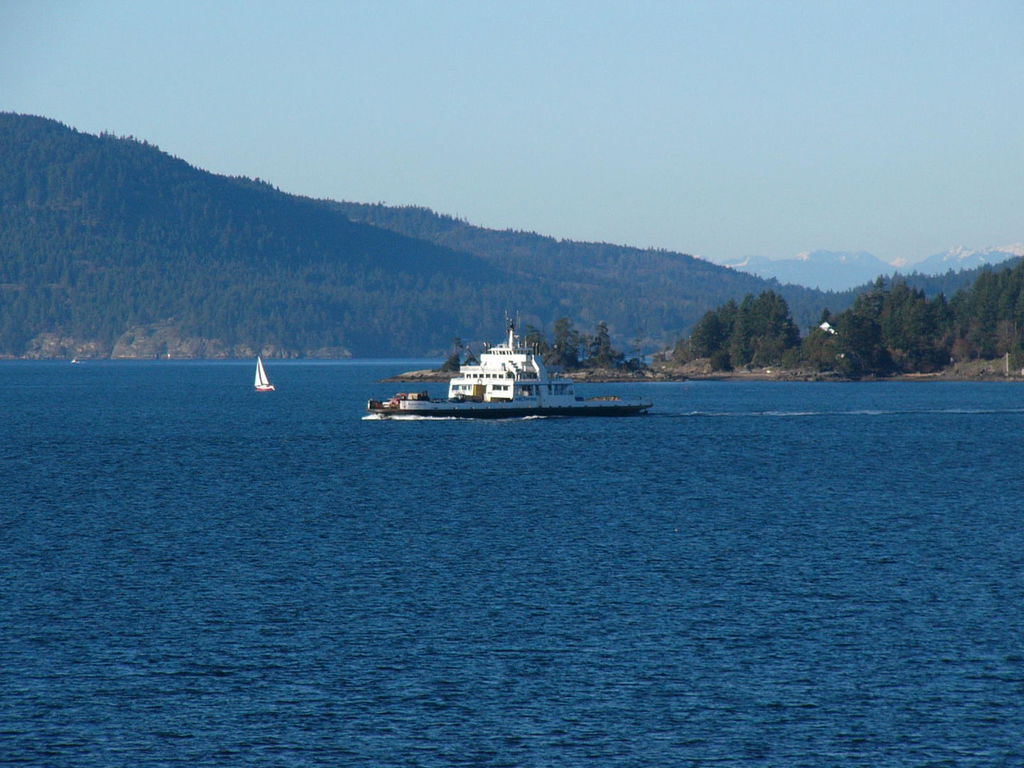
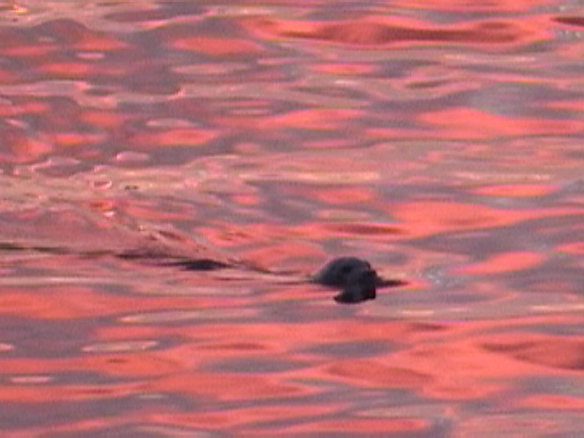
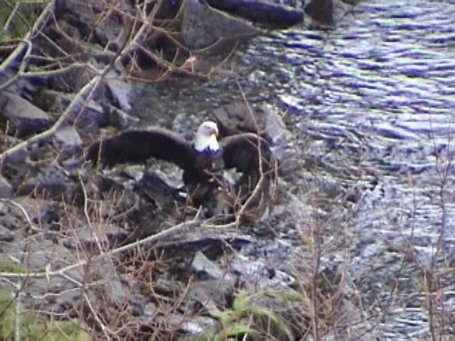
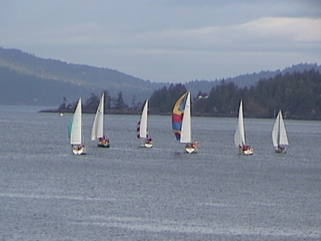
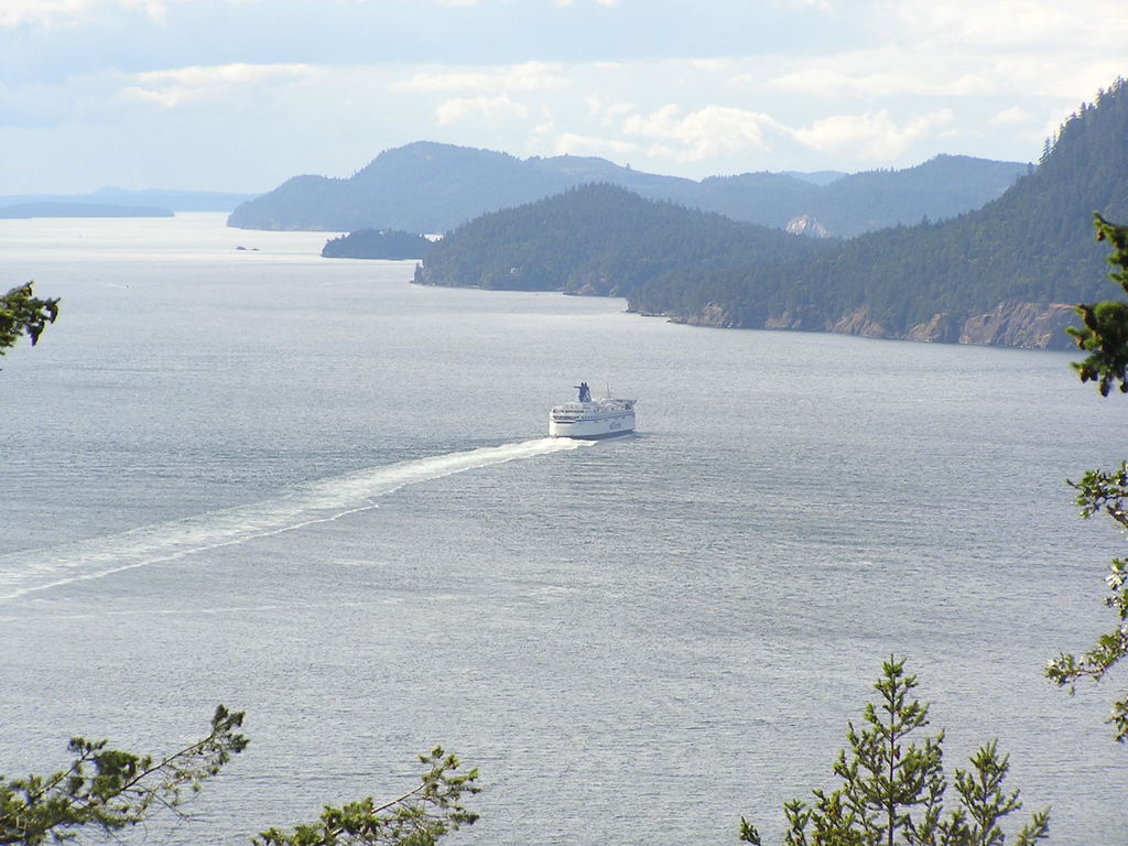
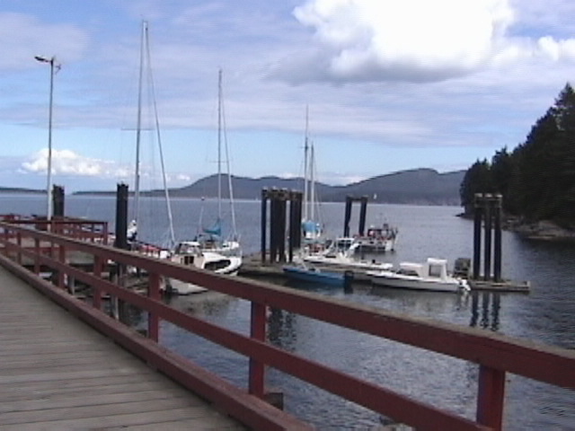
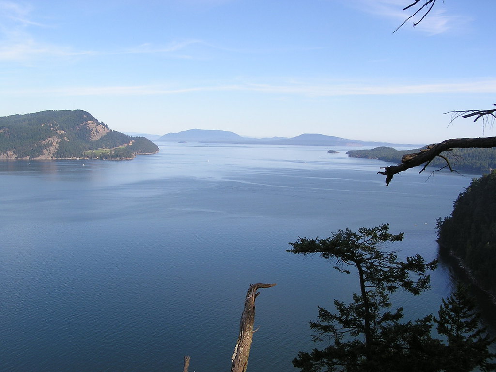
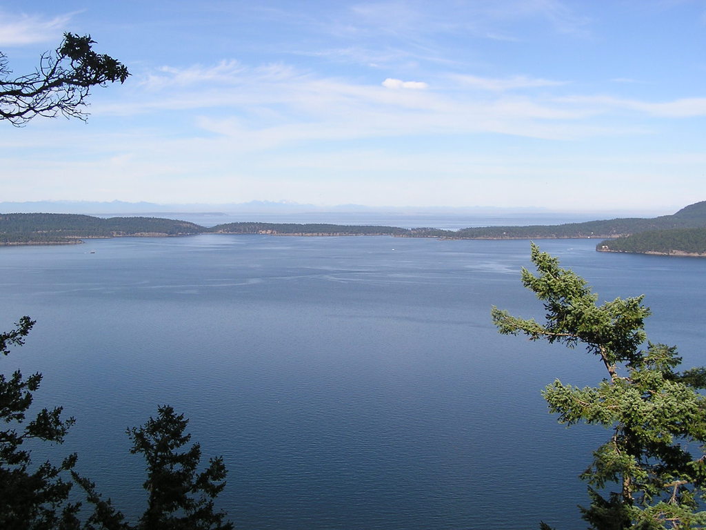
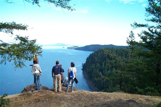
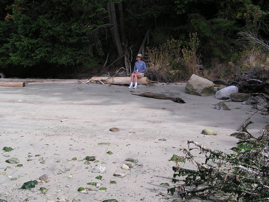
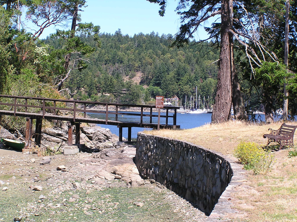
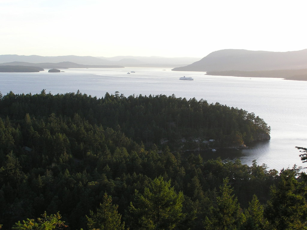
Scenic Pender Slide Show
Intro - Home Page
enCYCLEpedia So Cal Home
enCYCLE BONUS Materials, Updates to Ch 4 (Password)
enCYCLE Updates Ch 5-9 (Password)
enCYCLE Features, BLOG, Contact
Pender Islands Handbook Home
Pender Islands Updates, Reviews
Pender Islands Links, Info
Scenic Pender Slide Show
.